
[From the diaries by susanhu. More superb research and disturbing information.]
Several weeks ago, I posted a “User’s Guide” to EPA data resources from post-Hurricane Katrina air, water, and soil testing. At that time, there weren’t a lot of data available, and I had a few other comments of the site as well. Now I’m not sure if someone from EPA reads BMT or not, but I’m happy to report that today when I went back to follow up (new information was posted 10/4), things are a lot better.
There are a lot of data now available – hundreds of locations sampled and reported within New Orleans alone. There’s an interactive mapping system that lets you zoom in to a specific city, and stars then mark locations sampled. Post-Hurricane Rita analyses are also underway, and are also reported. And even the quibble I had with the units for test results not being included has been fixed. The updated report continues below.
Entering the site at the Hurricane Response: Katrina/Rita page, You can scroll down to EPA Response Activity – October 4. Here, there are links to the latest data for floodwater, sediment, and air screening analyses. If you follow the link for sediment results to here, and then click on the link to “Test Results – 9/10/05 to 9/19/05,” you are taken to the EPA Enviromapper page:
Welcome to the Enviromapper for 2005 Gulf Coast Hurricanes. This tool combines interactive maps and aerial photography to geographically display test results from air, water and sediment sampling in the areas impacted by Hurricanes Katrina and Rita in September 2005.
There are five geographically-based selection options to help you zoom into areas of interest. Each option essentially does the same thing, offering maps and aerial photos that can be used to locate EPA and Louisiana Department of Environmental Quality sampling sites. In addition, the “By Facility” option has the potential to zoom to a point closer to or exactly on individual regulated facilities. Some views allow you to select or de-select layers of information such as street names, water bodies, etc.
You now go through a map to select a specific location, then click on a star (which marks a sampling site) and the test results for that location appear (now with correct units). The chemical names link to additional information, as I described earlier.
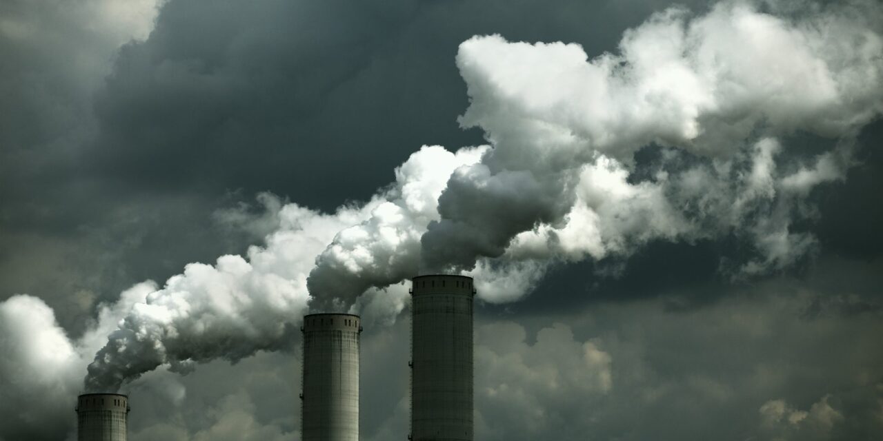
Sooo… What are they finding? No big surprises. Continued contamination by petroleum products (including PAHs, which are carcinogenic), certain metals (especially lead), and banned pesticides (these were probably in the soil anyway from a half-century of widespread use, but now they’re spread everywhere). The levels in New Orleans are in the range that they do not pose an immediate threat if you’re wearing protective gear and not drinking the water, or splashing it into your mouth.
No comment was made about whether the levels are sufficiently high that they would preclude rehabitation later; I suspect a risk assessment by ATSDR/CDC is underway in that regard. They are very careful to keep saying there is no immediate threat to health, which begs the question of “What are the long-term threats? My gut instinct is that when they demolish the 9th ward and other heavily affected areas (which they will have to do anyway because of the incredible levels of mold being found) they’re going to have to remove the top 3 inches of soil as well while they’re bulldozing for debris removal.
Additional developments:
– Air screening with the aircraft I described earlier has now shifted to Lake Charles, LA (a center for the chemical industry) following Hurricane Rita. New Orleans air monitoring is now being conducted with fixed air monitoring stations and vehicle-mounted instruments.
– The EPA is also now monitoring the ocean for chemical impacts of the hurricanes.
– Mobile labs are testing drinking water supplies in several areas: “Bacteriological analyses continue on individual private well water supplies in Livingston, LA, on public water systems in Kinder, LA, and on public and private supplies in Gulfport, MS.” Additionally:
In LA, there are a total of 1591 drinking water facilities that served approximately 5 million people. As of 10/3, EPA has determined that 1151 of these facilities are operational, 186 are operating on a boil water notice, 95 are not operating, and further information is being gathered on 159. In MS, there are a total of 1,368 drinking water facilities that served approximately 3.2 million people. EPA has determined that 1,256 of these facilities are operational, 76 are operating on a boil water notice and 36 are inoperable. In TX, there are a total of 982 drinking water facilities that served approximately 3.7 million. EPA has determined that 408 are operational, 123 are operating on a boil water notice, 124 are not operating, and 327 are awaiting further information. It should be noted that operational facilities may still be in need of repair or reconstruction. EPA’s Water program is continuing to assess drinking water plants in the affected area.
– For wastewater plants, also knocked out by the hurricanes, EPA reports:
In LA, there are a total of 317 Public Owned Treatment Works (POTW). As of 10/3, EPA has determined that 292 of these facilities are operational, 14 are not operating, and 11 are awaiting further information. In MS, there are a total of 329 POTW. EPA has determined that 328 of these facilities are operational and 1 facility is not operating. In AL, there are a total of 84 facilities with one not operating. In TX, there are a total of 70 POTW. EPA has determined that 45 are operational, six are not operating, and 19 are awaiting further information. It should be noted that operational facilities may still be in need of repair or reconstruction. EPA’s Water program continues to assess wastewater treatment plants in the affected area. (Note: POTW numbers are now being reported based on utilization of FEMA disaster designation.)
– No word yet on the impact of the storms on Superfund (National Priority List / NPL) sites:
EPA teams continue to assess NPL sites in the area affected by Rita. Twenty-seven of the 28 TX sites have been assessed. Four out of the five NPL sites in Louisiana have been assessed. There are 15 NPL sites in the hurricane Katrina-affected area of LA, 6 in AL and 3 in MS. Initial assessments have been conducted on these sites. EPA is still in the assessment phase, and will continue to monitor all the impacted NPL sites.
– Finally, there are the various chemical drums scattered hither and yon by the storms, called “orphan containers”, as well as household hazardous waste that folks need to dispose as they return to their properties: “As of 10/3, EPA has collected over 65,000 [emphasis mine] HHW/orphan containers throughout the affected region. Collection sites are in place in LA, MS, and AL.”


